GIS Mapping, UAS, and Database Solutions in the Dakotas

CUSTOM ONLINE MAPS, AERIAL IMAGERY, AND DATABASES
NORTH & SOUTH DAKOTA GIS, UAS, AND DATABASE SERVICES
At Grouse Mountain, we leverage the power of geospatial technologies to deliver exceptional solutions for our clients. Our team excels in Geographic Information Systems (GIS), Unmanned Aircraft Systems (UAS), and database development, providing a comprehensive suite of services for environmental and other Dakota-based projects.
GIS Expertise:
-
- Spatial Analysis & Mapping: Our experienced GIS analysts conduct in-depth spatial analyses using cutting-edge GIS software and create visually stunning maps and data visualizations. With over 35 years of combined experience working with geospatial data for environmental projects, we understand the nuances of geographic information systems and can produce high-quality geographical maps that meet the unique needs of each client.
-
- Data-Driven Solutions: We utilize GIS data to develop insightful geospatial solutions for a wide range of applications, from environmental assessment to reclamation planning.
UAS Capabilities:
-
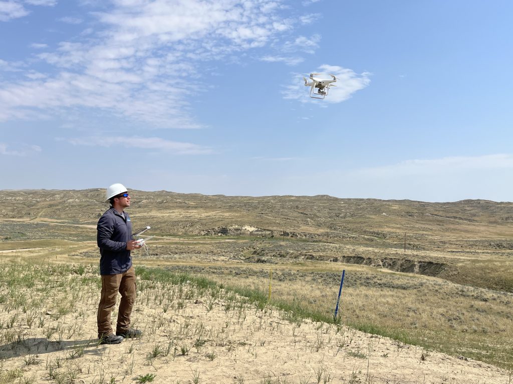
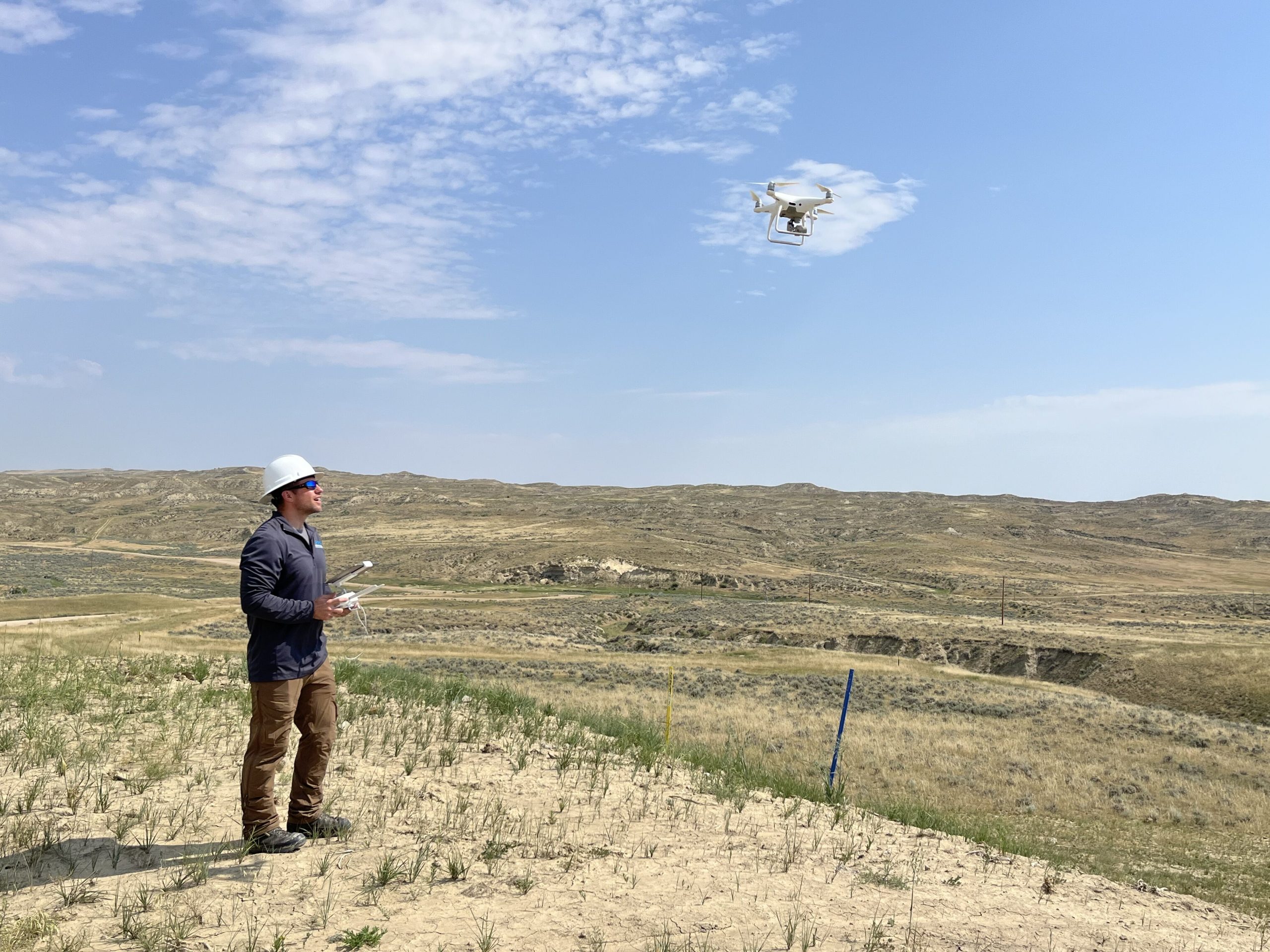
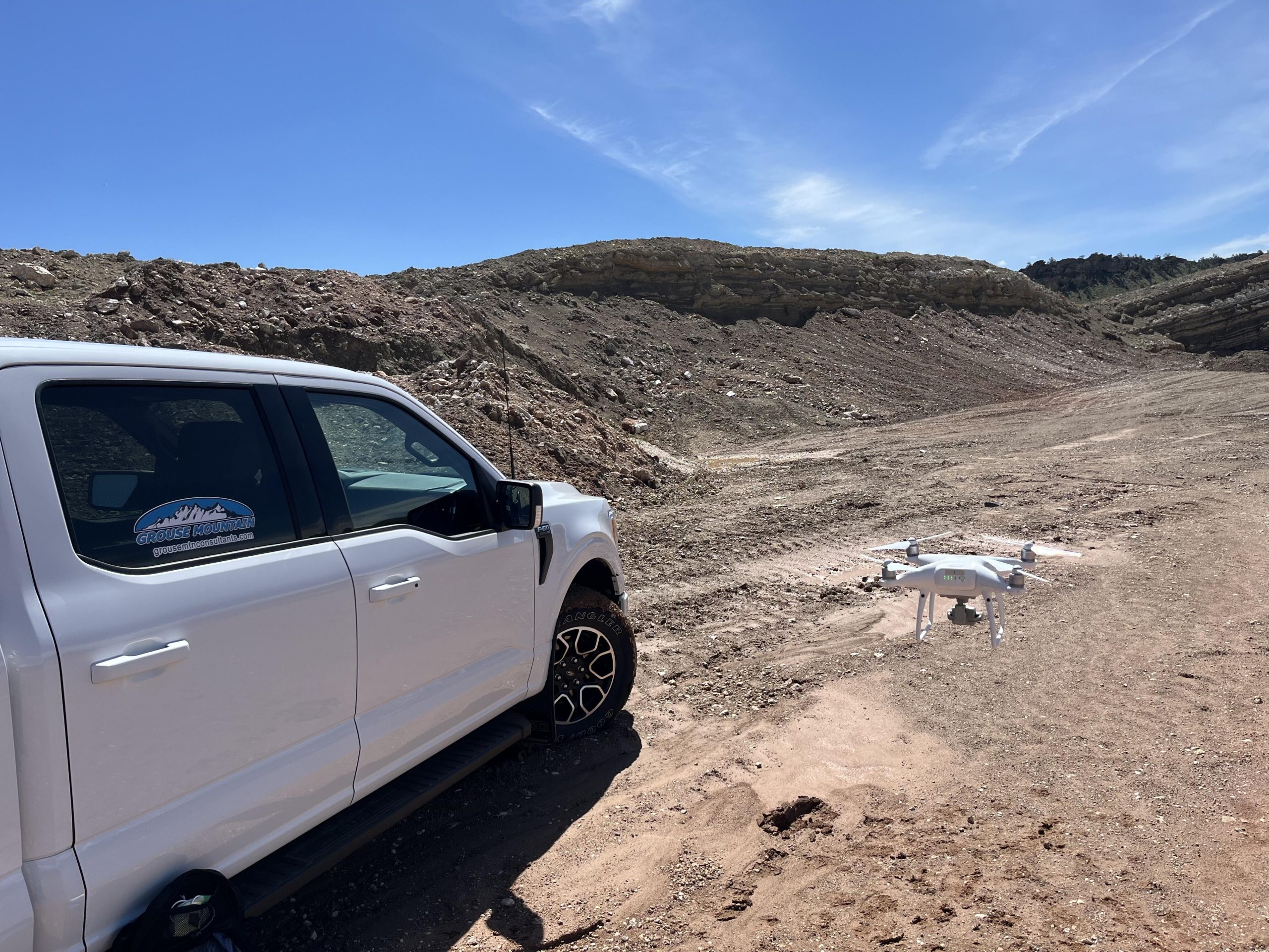
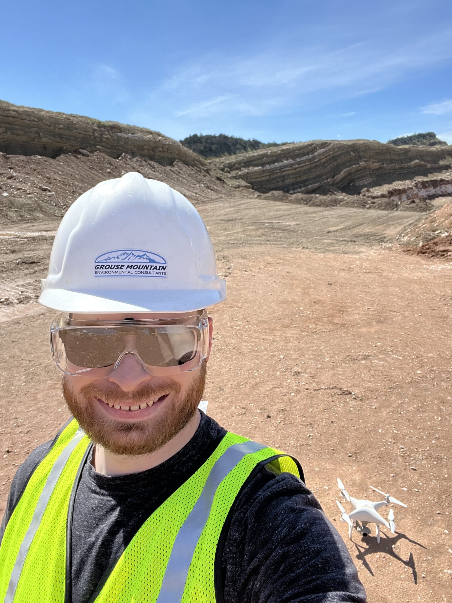
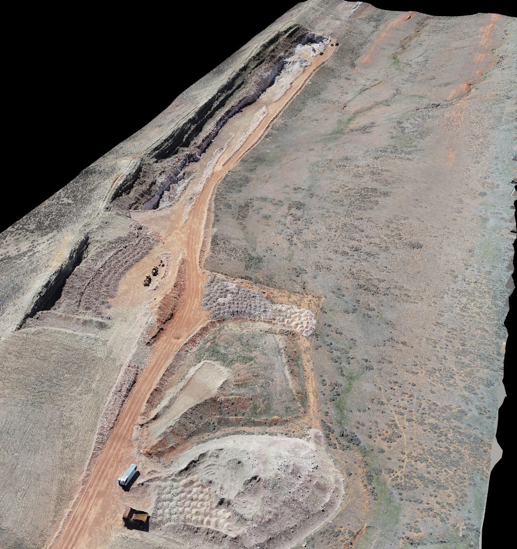
- Aerial Imagery & Data Collection: Since 2018, our FAA-licensed UAS pilots have utilized drones to capture high-resolution aerial imagery and create aerial maps for a variety of projects.
-
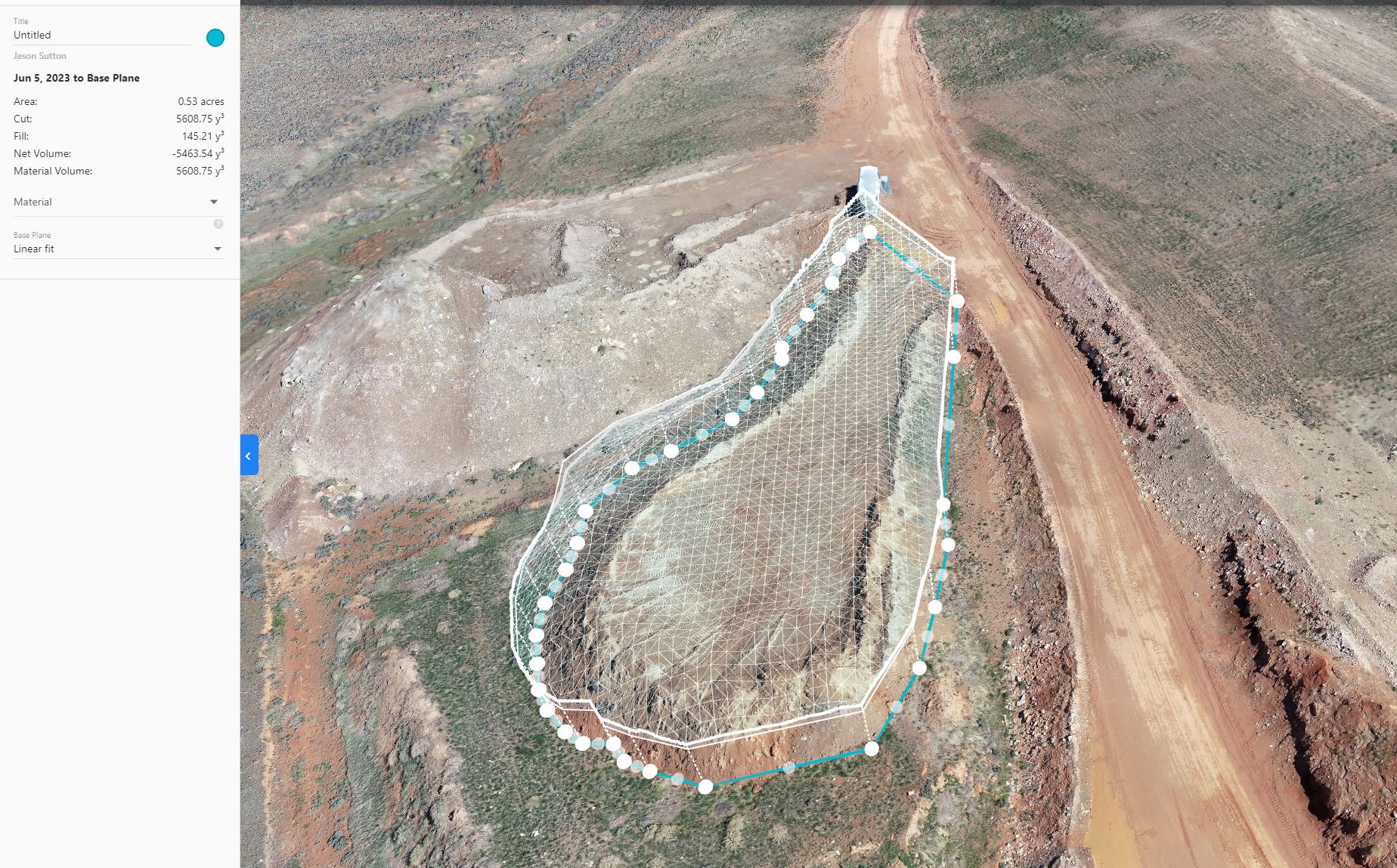
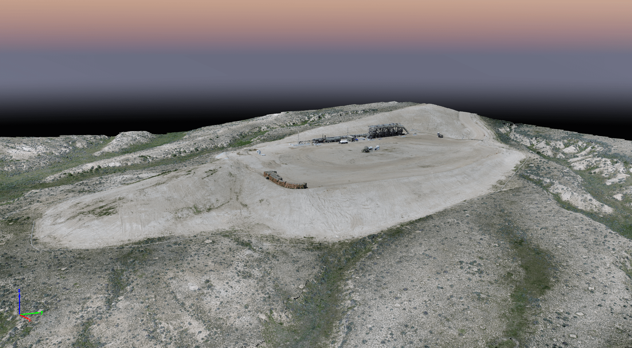
- Advanced Data Analysis: We analyze drone imagery to extract valuable insights and create 3D models and 3D mapping products that provide detail and accuracy.
Database Development:
-
- Custom Database Solutions: Our skilled developers create robust database solutions using Microsoft technologies, including SQL Server, Reporting Services, and Azure Cloud.
-
- Data Integration & Workflow Optimization: We specialize in integrating multiple systems and streamlining workflows to improve efficiency and data management.
Contact Us:
We thrive on challenges and are eager to assist you with your geospatial needs. Contact us today to discuss your North Dakota & South Dakota project and discover how our expertise in GIS, UAS, and database development can help you achieve your goals.
Learn More About Our Dakota GIS, UAS, and Database Services
Geographic Information Systems (GIS)
Environmental Resource Mapping
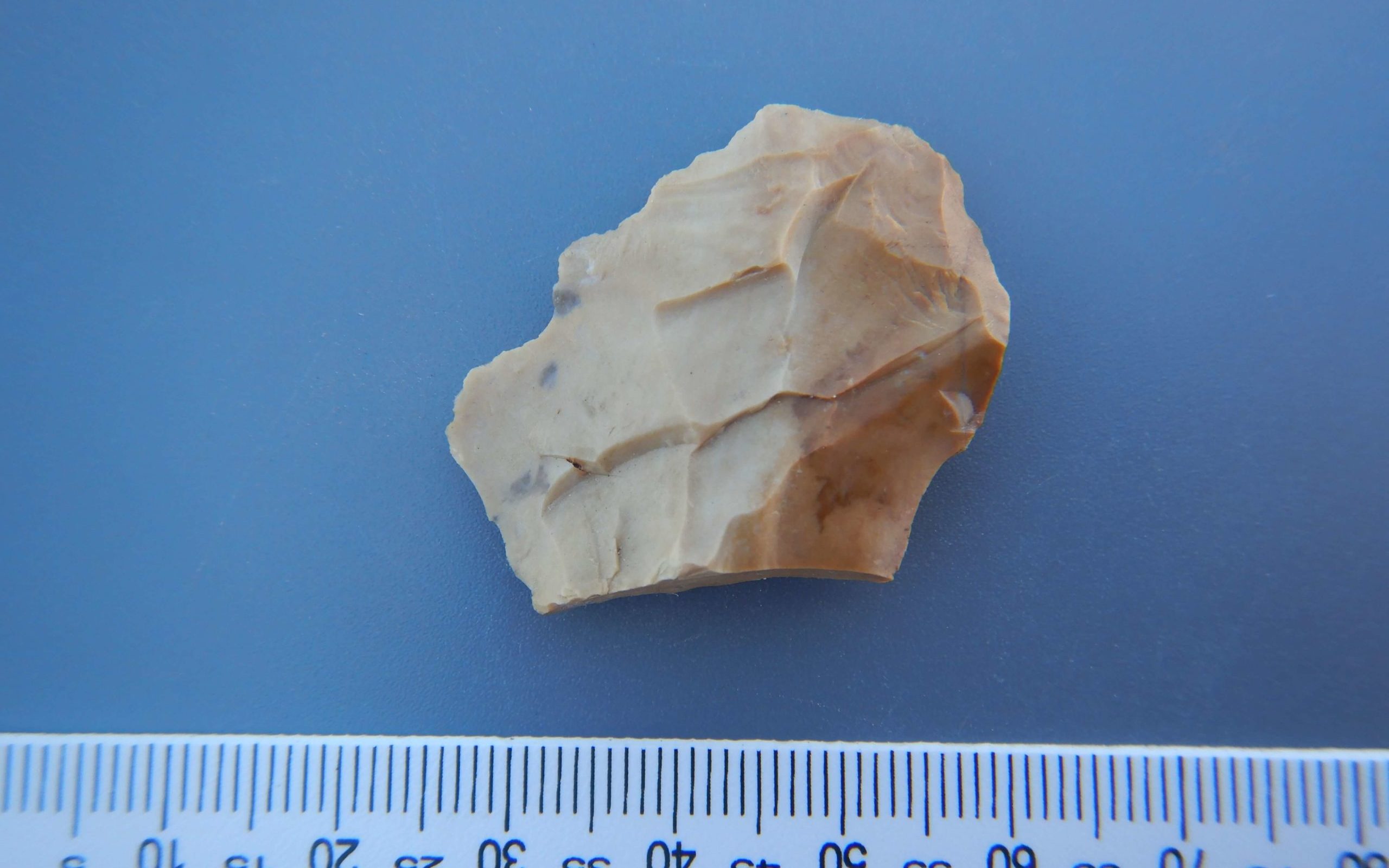
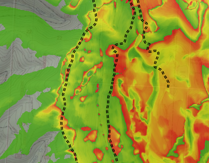
Environmental Resource Mapping is a specialized field within GIS that uses data collection (remote sensing, field surveys, and existing data), geospatial analysis (habitat mapping, land cover classification, impact assessments), and visualization techniques (thematic maps, 3D models) to create detailed maps of natural resources. These maps are crucial for conservation, resource management, environmental impact assessments, disaster management, and climate change adaptation, providing valuable insights for sustainable development and informed decision-making.
Mobile Device and App Workflows
Grouse Mountain Environmental Consultants recognizes the increasing importance of mobile technology in field data collection and real-time access to spatial information. We develop and implement mobile device and app workflows that seamlessly integrate with our GIS, UAS, and database services, empowering clients with efficient and accurate data collection, visualization, and analysis in the field.
3D Mapping, Modeling, and Visual Analysis
This encompasses a range of advanced geospatial techniques. We utilize data collected from various sources, including UAS imagery, LiDAR, and existing GIS datasets, to create detailed 3D models of landscapes, infrastructure, and other features.
Land Use/Land Cover Mapping
This specialized service involves classifying and mapping the Earth’s surface based on land use (e.g., residential, commercial, agricultural) and land cover (e.g., forest, grassland, water). We utilize a combination of data sources, including aerial imagery from our UAS operations, satellite imagery, and existing datasets, to create accurate and up-to-date land use/land cover maps.
GPS Integrated Solutions
A key strength of our approach is the integration of GPS data into our GIS workflows. This integration allows us to enhance data accuracy, streamline field data collection, integrate UAS data with ground truth, support navigation and tracking, and facilitate spatial analysis.
Interactive, Web-hosted Maps
We transform static maps into dynamic, interactive web maps that provide users with powerful tools for exploring and analyzing spatial data. These web maps offer a range of functionalities.
Unmanned Aircraft Systems (UAS)
Aerial Imagery and Video Acquisition
Grouse Mountain’s Unmanned Aircraft Systems (UAS), commonly known as drones, provide a powerful platform for acquiring high-resolution aerial imagery and video, offering unprecedented perspectives and data for a wide range of applications.
Video Production
Our UAS platforms capture high-definition video, providing dynamic visual records of project sites, infrastructure, or landscapes. This video can be used for presentations, documentation, or detailed inspections. We can also provide edited video products tailored to specific client needs.
Georeferenced and Orthorectified Aerial Imagery
We process raw aerial images to create orthomosaics, which are geometrically corrected, seamless, and geographically accurate maps. This process removes distortions caused by camera angle and terrain relief, resulting in precise measurements and spatial analysis capabilities. These orthomosaics can be integrated directly into GIS software for further analysis and interpretation.
Preplanning Visualization
Before a project even breaks ground, aerial imagery and 3D models generated from UAS data can be used for site visualization and planning. This allows stakeholders to understand the existing conditions, visualize proposed developments, and make informed decisions.
Reclamation Monitoring/Mapping
UAS technology offers efficient and cost-effective monitoring of reclamation sites. We can capture imagery to track vegetation growth, erosion control, and overall site progress over time, providing valuable data for regulatory compliance and adaptive management.
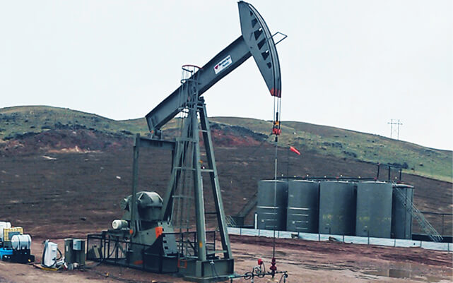
Aerial Inspection and Monitoring of Infrastructure
Inspecting infrastructure such as bridges, pipelines, and power lines can be hazardous and time-consuming. UAS inspections provide a safe and efficient alternative, capturing detailed imagery and video to identify potential issues, assess damage, and plan maintenance activities.
Real Estate Development Applications
High-quality aerial imagery and video are invaluable for real estate marketing and development. We provide stunning visuals of properties and surrounding areas, showcasing their unique features and attracting potential buyers or investors. We also offer services to create marketing videos.
Database
Database Design, Development, and Maintenance
We design relational databases tailored to specific project needs, ensuring data integrity, efficiency, and scalability. This includes creating logical data models, defining data schemas, establishing relationships between tables, and implementing appropriate data constraints and validation rules. We consider factors such as data volume, access patterns, and reporting requirements to develop optimal database architectures.
Software Systems Integration
We have a proven track record of integrating disparate systems, enabling data flow and improved workflow efficiency. This often involves connecting databases with other applications, such as GIS software, web platforms and remote services, using APIs and other integration technologies.
Workflow Automation
We develop custom solutions to automate repetitive database tasks and streamline workflows. This can include automating data imports/exports, generating reports, and triggering notifications based on specific events.
Custom Forms
We create user-friendly custom forms for data entry and management, simplifying data collection and ensuring data consistency.
Tailored Reports
We develop custom reports that provide valuable insights from the data stored in a database. These reports can be generated in various formats, such as PDF, Excel, or web-based dashboards, and can be scheduled for automatic delivery.
GIS, UAS, and Database FAQs


CONTACT US

Complete the form below and a member of the Grouse Mountain team will contact you shortly. If you need to speak with someone immediately, we can be reached at 307.684.2112.
OTHER DAKOTA SERVICES