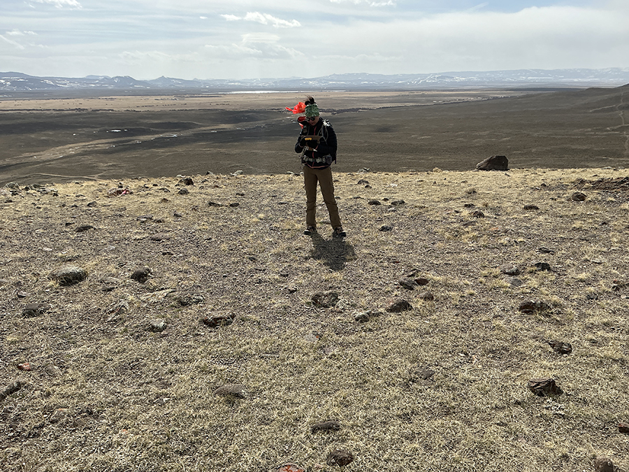
Traditional cultural resource surveys face challenges interpreting vast and complex landscapes. To meet the demands of large-scale development projects across the Mountain West, Grouse Mountain Environmental Consultants utilizes cutting-edge drone technology to deliver unparalleled detail and precision.
We provide expert UAV Cultural Landscape Analysis services, combining advanced GIS and archaeological interpretation with high-resolution aerial data. This innovative approach keeps your project efficient, minimizes field time, and ensures seamless compliance throughout Wyoming, Montana, Colorado, North Dakota, and South Dakota.
Precision Data via Drone-Based 3D Mapping
UAV Cultural Landscape Analysis leverages unmanned aerial vehicles (drones) to create highly accurate digital representations of project areas, revealing subtle landscape features that are often missed by ground-level surveys. This technology dramatically improves the quality and speed of cultural resource reporting and analysis.
Our Core UAV & Mapping Deliverables:
- Orthomosaic Imagery: Creation of geographically accurate, high-resolution aerial photo maps that provide a comprehensive, rectified view of the entire project area.
- 3D Terrain Modeling: Generation of detailed 3D models (Digital Elevation Models – DEMs) and point clouds, allowing for precise interpretation of topography, historical land use patterns, and archaeological features.
- Landscape Interpretation: Expert analysis of the mapped data to identify cultural landscape elements, historic alignments, and subtle indications of past human activity, critical for Section 106 and Phase I reporting.
Applications for UAV Cultural Landscape Analysis
This service is invaluable for projects requiring large-area assessment, high-accuracy mapping, or comprehensive visual impact analysis, supporting everything from large energy infrastructure to extensive linear corridors.
- Large-Scale Survey & Inventory: Rapid and cost-effective data collection over thousands of acres for Phase I inventories.
- Viewshed Analysis Integration: Providing high-definition terrain models necessary for accurate visibility and viewshed impact assessments, particularly for communication towers, solar farms, and wind energy facilities.
- Complex Site Documentation: Capturing precise data for large, multi-component archaeological sites or historic districts, ensuring detailed recordation prior to mitigation efforts.
Why Choose Grouse Mountain for UAV Analysis?
Choosing Grouse Mountain means selecting a single partner that integrates sophisticated technology with deep regulatory and regional understanding.
- Multi-Discipline Strength: Our UAV Cultural Landscape Analysis is managed by licensed pilots who are trained archaeologists, ensuring the data captured is immediately useful for GIS and cultural reporting.
- Local & Regional Knowledge: We combine the power of UAV technology with extensive field experience across the specific geographic and cultural contexts of WY, MT, CO, ND, and SD, guaranteeing informed interpretation of the resulting maps and models.
- Efficient, Cost-Effective Approach: UAV mapping significantly reduces time and personnel required for fieldwork, maximizing compliance efficiency and minimizing your overall project costs.
- Full Compliance: We ensure all documentation generated from our aerial analysis meets the stringent requirements of federal agencies (e.g., BLM) and State Historic Preservation Offices (SHPO).
Ready to leverage cutting-edge aerial technology for your next cultural resource project and ensure compliant, high-accuracy reporting?

