In the field, things move fast. Whether you are navigating a remote basin in New Mexico or conducting raptor surveys in the Wyoming high country, the old way of doing things (paper maps, handwritten notes, and manual data entry back at the office) just doesn’t cut it anymore. It’s slow, it’s prone to human error, and it creates a massive bottleneck between the field and the final report.
At Grouse Mountain Environmental Consultants, we’ve replaced the clipboard with high-accuracy, GPS-enabled mobile tools. By digitizing the process from the very first step, we ensure that the data we collect is as precise as the projects we support.
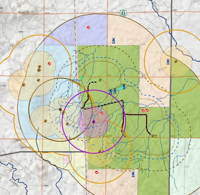
Precision at the Source: GPS-Enabled Field Data Collection
Accuracy isn’t just a “nice to have” in environmental consulting; it’s a regulatory requirement. When we are marking the boundary of a wetland or a sensitive plant population, a few feet of error can be the difference between a compliant project and a regulatory violation.
Our field teams use ruggedized, GPS-enabled tablets that allow for sub-meter accuracy in the field. This means:
-
Immediate Spatial Context: We can see exactly where we are in relation to existing project boundaries and constraints in real time.
-
Eliminated Transcription Errors: Data is recorded digitally at the point of origin, so there’s no “deciphering” messy handwriting later.
-
Rich Data Points: We can attach high-resolution photos, audio notes, and precise coordinates directly to a single record.
Customized Tools for Specific Surveys
Environmental work isn’t one-size-fits-all, so our tools shouldn’t be either. We build and customize our own mobile platforms to match the specific survey at hand.
By using logic-driven forms, we ensure that our biologists never miss a required field. We have specialized digital workflows for:
-
Wildlife Surveys: Built-in checklists for raptor nest status or Mexican Spotted Owl protocols.
-
Compliance Tracking: Real-time logging of BMP (Best Management Practice) inspections for erosion and sediment control.
-
Wetland Delineations: Streamlined forms that automatically pull in regional plant lists and soil indicators.
Real-Time Syncing: From Field to Office in Seconds
The biggest advantage of a mobile-first strategy is speed. In the past, a project manager might wait days or even weeks for field data to be transcribed and mapped.
With our integrated systems, data is synced to the cloud as soon as a biologist gets a signal.
-
Faster Decision-Making: If a “no-go” constraint is found in the field, the office knows about it in short order, allowing for rapid route adjustments.
-
Dynamic Reporting: We can generate draft reports and maps almost as fast as the data is collected.
-
Transparency: Clients can receive status updates based on real-time progress, not just “best guesses.”
The Grouse Mountain Difference
We don’t use technology just because it’s modern; we use it because it makes our work more defensible and our clients’ projects more efficient. By bridging the gap between the field and the office, we take the guesswork out of environmental compliance.
Ready to ensure your project’s compliance?

