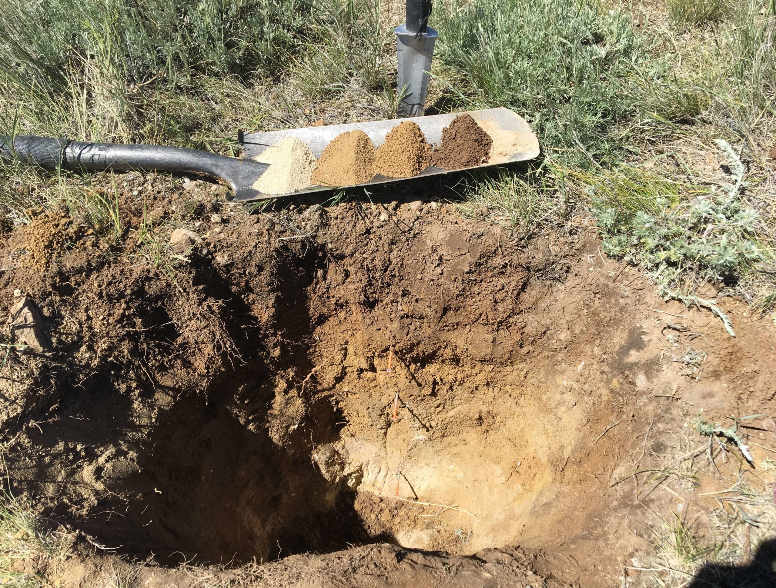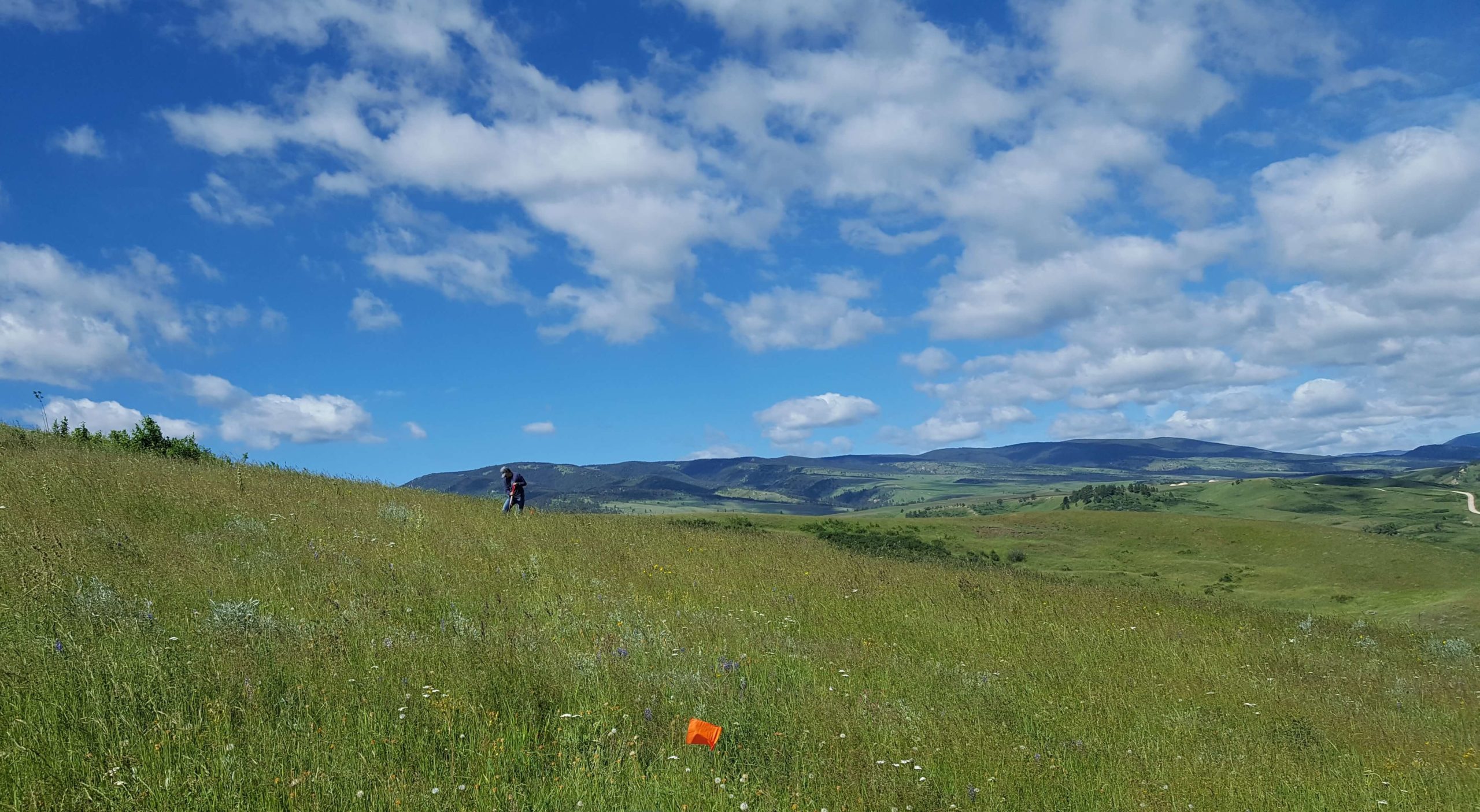
Grouse Mountain’s highly trained team worked closely with the BLM-Buffalo Field Office to coordinate and conduct 228 terrestrial Assessment Inventory and Monitoring (AIM) points and assess 11.75 miles of intermittent and perennial stream segments for Proper Functioning Condition (PFC). Grouse Mountain communicated with private landowners and BLM personnel in order to secure access and identify approved routes to the points. Grouse Mountain then created maps and import files to navigate to the points using the approved routes. At each point, our Interdisciplinary Team of three specialists collected a host of site information including: Plot characteristics, photo points, a description of soil profiles and soil characteristics, current land use, presence of erosional features, vegetative cover and composition using line point intercept, vegetation height and sagebrush shape, forage production, and soil stability. The IDT Team then used the collected information to identify the ecological site and state and interpret indicators of rangeland health using seventeen (17) Indicators for Rangeland Health.