In the diverse terrain of the Mountain West, two side-by-side acres can have vastly different potential. One may be a productive loamy fan capable of sustaining dense forage, while the other is a shallow, rocky break prone to erosion. For land managers, energy developers, and ranchers, the ability to distinguish between these areas is the difference between a successful project and a costly ecological failure.
At Grouse Mountain Environmental Consultants, we specialize in Ecosite Identification and Long-term Monitoring. we provide the technical framework needed to understand your land’s current state and its future potential.
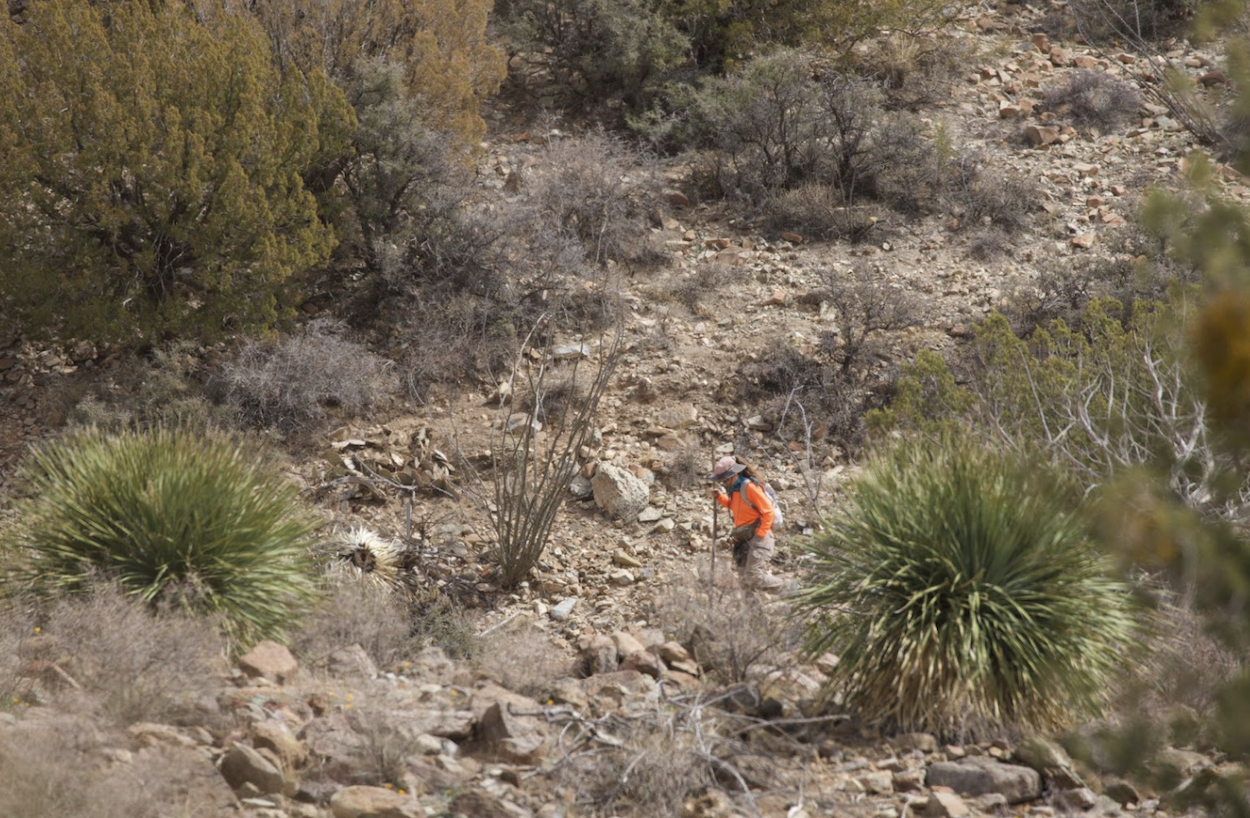
The Blueprint of the Land: Ecosite Identification
An Ecological Site (Ecosite) is a distinctive kind of land with specific physical characteristics that differs from other kinds of land in its ability to produce a distinctive kind and amount of vegetation. We provide the forensic field expertise to identify these boundaries:
-
Soil Type & Profile Analysis: Using hand augers and soil pits, we identify the underlying soil series that dictates what can grow on the surface.
-
Plant Community Succession: We determine where your land sits on its “State-and-Transition” model. Are you looking at a climax plant community or a seral stage influenced by past disturbance?
-
Ecosite Descriptions: We provide detailed reports that match your specific terrain to official NRCS descriptions, giving you a standardized language for agency coordination.
Tracking the Trend: Long-term Monitoring Plots
Data from a single day is a snapshot; data over a decade is a strategy. We design and implement long-term monitoring programs that provide the “proof of performance” required for modern land use:
-
Permanent Plot Establishment: We set up fixed monitoring locations using sub-meter GPS, ensuring that year-over-year data is collected from the exact same square inch of earth.
-
Trend Data Collection: We track shifts in species composition, ground cover, and canopy gaps to identify whether your management actions are moving the needle toward restoration or degradation.
-
Compliance Support: Our monitoring protocols are built to satisfy the requirements of reclamation bonds, grazing permits, and wildlife habitat compliance programs.
Why Ecosite Data is a Business Asset
In the world of environmental permitting, “guessing” at land potential is a liability. By partnering with Grouse Mountain, you gain:
-
Optimized Reclamation: By identifying the correct Ecosite, you can tailor your seed mixes to the soil’s actual potential, significantly increasing your chances of a first-year success.
-
Defensible Management: Long-term trend data provides the scientific evidence needed to defend your grazing practices or industrial mitigation efforts during agency audits.
-
Risk Mitigation: Identifying sensitive ecosites early allows you to move infrastructure to more resilient ground, avoiding the high costs of “failed” reclamation in fragile areas.
The Grouse Mountain Difference
We don’t just count plants; we interpret the system. Our team combines technical soil science with a deep understanding of the Mountain West’s unique Successional patterns. We provide the clarity you need to manage your land not just for this season, but for the next generation.
Ready to ensure your project’s compliance?

