Advanced Analysis
With current aerial imagery, we can take projects to the next level with three-dimensional analysis.
Several ways we work with volumetric information include:
- Custom elevation products: We create high-resolution digital elevation models and contour lines for design and planning that surpass those publicly available.
- Volume calculations for proposed development: Accuracy is paramount when it comes to planning projects such as pit construction. With UAS imagery and a custom DEM, we perform accurate calculations of volumes before construction begins.
- Remediation modeling: by combining current aerial imagery and ground sampling information, we produce above- and below-ground models to better understand remediation status and needs.
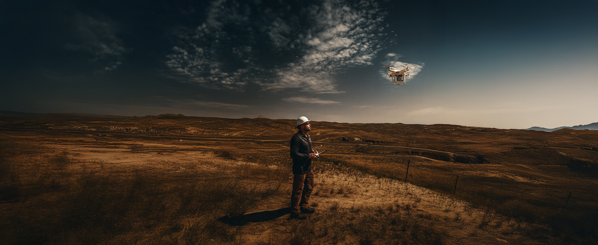
The GMEC Difference
When it comes to aerial services, often times up-to-date footage is required to develop a current picture or site model. We at Grouse Mountain Environmental Consultants will put our UAS and spatial analysis skills to work for you to produce high-quality engineering reports, reclamation/remediation assessments, site plans, and more.

