In the Rocky Mountain region, a permit application is only as strong as the data behind it. Whether you are working with the BLM on an APD or navigating USACE wetlands requirements, the agencies aren’t just looking for information, they are looking for conformance. If your maps don’t meet their specific digital standards, your project sits on a desk while costs climb.
At Grouse Mountain Environmental Consultants, our Regulatory Alignment & Submission Support team acts as the bridge between your project goals and agency expectations. We ensure that your spatial data is a “digital handshake”: perfectly formatted, technically sound, and ready for approval.
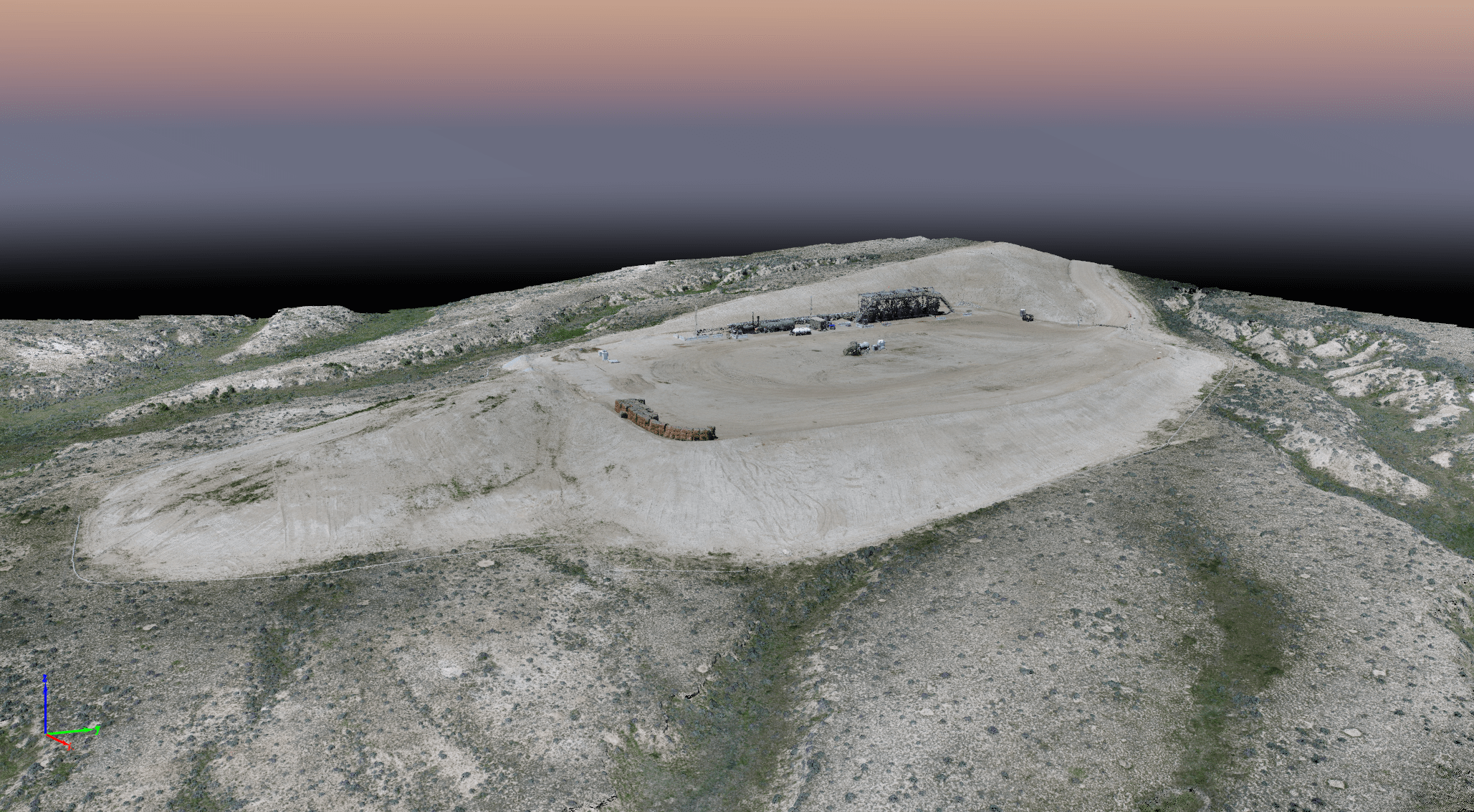
Mapping Built for Compliance
Federal and state permitting requires more than just a site plan; it requires a specialized suite of maps that address distinct environmental concerns. We provide comprehensive mapping support tailored to the specific requirements of:
-
Applications for Permit to Drill (APD): Precise site layouts including access roads, pad locations, and resource offsets.
-
Rights-of-Way (ROW): Detailed routing across federal, state, and private lands, ensuring all buffers and boundaries are respected.
-
Reclamation Plans: Visualizing the roadmap from initial disturbance to final bond release, ensuring the WDEQ or other state agencies see a clear path to success.
Navigating the “Standard” Maze
Every agency has its own “language” of data. A file that works for the USFWS might not meet the technical metadata requirements of the USACE or WDEQ. We specialize in cross-agency conformance, ensuring your project aligns with:
-
BLM & USFS Standards: Strict adherence to spatial data management and resource protection buffers.
-
USFWS & State Wildlife Agencies: Mapping that accounts for T&E species, raptor nests, and seasonal timing stipulations.
-
Clean Water Act Compliance: USACE-ready delineations and impact maps that facilitate Section 404 permitting.
Frictionless Data Delivery Packages
The final hurdle of any permitting effort is the delivery. Modern agencies often require specific file formats (like File Geodatabases or specific CAD layers) accompanied by detailed metadata.
We don’t just send you a map; we provide a complete Data Delivery Package. These packages are built to plug directly into agency systems, reducing the need for “clarification” requests and administrative back-and-forth. When the agency receives a GMEC package, they know the data is clean, the coordinates are correct, and the standards are met.
The GMEC Difference
Regulatory alignment isn’t just about following rules; it’s about understanding the nuances of the region. Because we are based in the West and work with these agencies every day, we know how to anticipate their questions and address them through our mapping before they ever become “bottlenecks.”
Ready to ensure your project’s compliance?

