In industrial development, a permit is more than just a piece of paper, it is a timeline. Moving a project from a conceptual drawing to an operational reality requires a synchronized dance between engineering schedules, biological windows, and regulatory milestones. Without a cohesive roadmap, even the best-engineered projects can fall victim to “permitting drift,” leading to blown budgets and missed seasons.
At Grouse Mountain Environmental Consultants, we specialize in Strategy Development and As-Built Mapping. We provide the high-level vision needed to secure your permits and the granular data required to close them out.
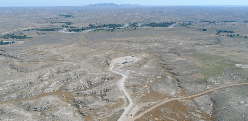
Strategic Permitting: Aligning Milestones with Reality
The most successful projects don’t just “apply for permits”, they build a strategy. We work alongside your project managers to develop a comprehensive Permitting Strategy that aligns your site planning with the hard realities of the regulatory calendar:
-
Regulatory Milestone Tracking: Identifying “long-lead” items (such as cultural surveys or specialized air modeling) early enough to prevent them from becoming bottlenecks.
-
Biological Windows: Factoring in raptor nesting dates or big game winter range closures into your construction schedule to avoid seasonal shutdowns.
-
Agency Engagement Strategies: Developing a clear plan for pre-application meetings with the BLM, WDEQ, or local authorities to resolve technical questions before the clock starts ticking.
As-Built Mapping: The Bridge to Compliance
A permit tells you what you intend to build; As-Built Mapping documents what you actually built. This transition is a critical phase of the project lifecycle, serving as the official record for compliance and construction hand-off:
-
Post-Permit Reporting: Many permits require “as-built” submissions to verify that disturbances stayed within approved limits. We provide the high-precision GIS data and mapping needed to satisfy these agency requirements.
-
Construction Hand-Off: We translate field-verified data into clean, professional maps that your operations and maintenance teams can rely on for the life of the asset.
-
Compliance Validation: Comparing the final construction footprint against the original permit to identify any deviations that require “after-the-fact” authorizations or reclamation.
Why Integrated Strategy & Mapping Matters
When strategy and mapping are siloed, data gets lost. By partnering with GMEC for a unified approach, you gain:
-
Predictable Schedules: By identifying regulatory “red flags” during the strategy phase, we eliminate the mid-project surprises that derail timelines.
-
Defensible Data: Our as-built maps provide a “source of truth” that protects your organization during post-construction audits or land-use inspections.
-
Streamlined Closeouts: Having accurate as-built data ready at the moment of completion allows for faster bond releases and easier transitions to the operational phase.
The GMEC Difference
We don’t just “map” projects; we understand the regulations that define them. Our team combines technical GIS expertise with a deep knowledge of Western land management to ensure your project is strategically sound from the first staking to the final submittal.
Ready to ensure your project’s compliance?

