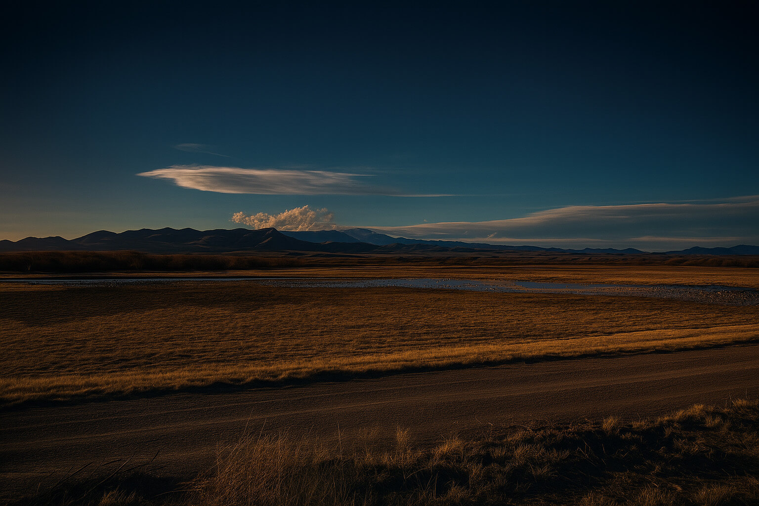
In the Mountain West, the push for renewable energy often intersects with deep historical footprints. From ancient Indigenous locations to pioneer trails and historic homesteads, these cultural resources are protected under federal and state laws that require identification, evaluation and rigorous documentation before a single wind turbine or solar panel is installed. Success in the renewable sector requires more than just high-tech software; it requires a sophisticated understanding of the land’s heritage combined with the precision of modern mapping.
At Grouse Mountain Environmental Consultants, we bridge the gap between archaeology and advanced technology. Our Cultural Resource and GIS Services provide the in-depth investigation needed to navigate the Section 106 process and optimize your project layout.
Navigating Section 106: Cultural Resource Inventory
When a project involves federal land or funding, it triggers a “federal nexus” under the National Historic Preservation Act (NHPA). We lead the coordination needed to identify, evaluate, and protect these non-renewable resources:
-
Class I, II, & III Inventories: We perform everything from desktop literature searches (Class I) and sampling surveys (Class II) to the intensive, 100% pedestrian on-the-ground inventory surveys (Class III) required before construction clearance can be issued.
-
NEPA & Section 106 Support: We guide developers through the consultation process with State Historic Preservation Offices (SHPO) and Tribal Historic Preservation Offices (THPO), ensuring all “adverse effects to historic and prehistoric properties” are identified, avoided, or mitigated.
-
Cultural Resource Sensitivity: We help you understand the landscape from a historical perspective, identifying traditional cultural properties and archaeological sites early on in the process to help avoid costly “discoveries” during construction.
The Power of Data: GIS Mapping
Geographic Information Systems (GIS) are the central nervous system of a successful project. We transform raw field data into actionable intelligence:
-
Site Layout Optimization: We integrate biological, cultural, and topographical constraints into GIS maps, allowing for “micro-siting” to avoid sensitive areas.
-
Resource Level Zone (RLZ) Analysis: We perform sophisticated spatial analysis to identify the best zones for development based on environmental factors in play.
-
Constraint Mapping: Our GIS team provides the “maps of truth” used by project stakeholders to understand the complex web of leases, rights-of-way, and areas to avoid.
Why Integrated Cultural and GIS Services are a Business Asset
In the renewable energy sector, the goal is to reach the “Record of Decision” (ROD) without surprises. By partnering with Grouse Mountain, you gain:
-
Reduced Siting Risk: By identifying cultural sites and topographic constraints during the pre-development phase, you can shift layouts early, avoiding the “lost months” caused by late-stage discoveries.
-
Streamlined Permitting: Our Class III reports and GIS datasets are built to agency standards, facilitating faster reviews by the BLM, USFS, and state regulators.
-
Enhanced Visualization: High-quality GIS maps provide the transparency needed to build trust with landowners and community stakeholders during public meetings.
The Grouse Mountain Difference
We don’t just find sites; we find the best path forward for your project. Our team combines the disciplined expertise of professional archaeologists with the technical precision of GIS analysts and FAA-certified drone pilots. We provide the clarity you need to build the future while respecting the past.
Ready to ensure your project’s compliance?

