In the vast, interconnected landscapes of the Mountain West, knowing where a sensitive plant species might be is often as important as knowing where it is. For project managers, the ability to predict suitable habitat before a single shovel hits the dirt is a game-changer for budgets and timelines. It allows for “Avoidance by Design,” shifting infrastructure to less sensitive ground long before a regulatory agency raises a red flag.
At Grouse Mountain Environmental Consultants, we specialize in Habitat Identification and Modeling. We combine advanced geospatial analysis with “boots-on-the-ground” field validation to provide a clear, defensible roadmap for your project’s environmental footprint.
The Desktop Assessment: Data-Driven Predictions
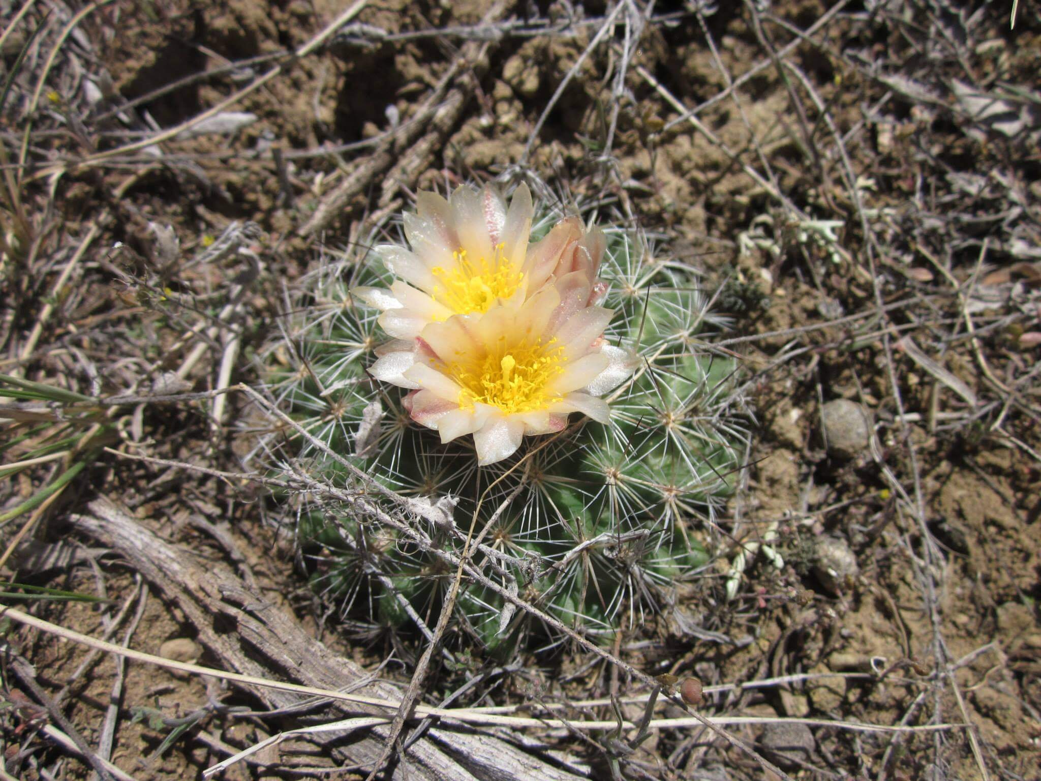
Every sensitive plant species has a “preferred address,” a specific combination of soil chemistry, elevation, aspect, and moisture. We start our process in the office to narrow the search:
-
GIS-Based Mapping: We utilize high-resolution Geographic Information Systems (GIS) to layer digital elevation models, geology maps, and historical occurrence data. This creates a “probability map” of potentially suitable habitat across your project area.
-
Predictive Modeling: By identifying the environmental signatures of federally listed or BLM-sensitive species, we can flag high-risk areas during the earliest stages of project siting.
-
Avoidance & Redesign Support: We provide your engineering team with “no-go” zones, allowing for a proactive redesign that can bypass the need for intensive, multi-year mitigation plans.
Field Validation: Ground-Truthing the Model
A model is a powerful tool, but in the world of federal permitting, it must be verified. Our botanical team takes the desktop data into the field to confirm the reality on the ground:
-
Habitat Suitability Verification: We visit the high-probability zones identified by our models to assess current conditions. Does the soil match the map? Is the associated plant community present?
-
Micro-Siting Precision: Field validation allows us to “shrink” the footprint of concern. We often find that what looked like a massive habitat block on a map is actually a small, manageable pocket, freeing up more land for your project needs.
-
Defensible Reporting: Our integrated reports combine GIS data with field observations, providing a robust administrative record that stands up to agency review and NEPA requirements.
Why Habitat Identification Modeling is a Business Asset
In environmental consulting, information is the best defense against delays. By partnering with GMEC, you gain:
-
Earlier Project Clearances: By identifying and avoiding high-probability habitat during the design phase, you can often significantly shorten the time required for agency concurrence.
-
Cost-Effective Field Work: Instead of surveying every square inch of a 10,000-acre project, our models allow us to focus field efforts on high-risk zones, saving you thousands in seasonal labor costs.
-
Mitigation Planning Clarity: If a sensitive habitat cannot be avoided, our models provide the baseline data needed to design effective, agency-approved mitigation and reclamation plans.
The GMEC Difference
We don’t just produce maps; we provide strategies. Our team understands the specific botanical and geological nuances of the Wyoming basins and surrounding regions. We provide the technical depth of a specialized GIS firm with the practical, “get-it-done” attitude of a regional field partner.
Ready to ensure your project’s compliance?

