In environmental permitting, the most valuable map isn’t always the one showing where a species lives, it’s the one showing where it could live. For energy developers, infrastructure planners, and land managers in the West, identifying potentially suitable habitat for Threatened and Endangered (T&E) species is a critical first step. It is the difference between a streamlined categorical exclusion and a multi-year Environmental Impact Statement.
At Grouse Mountain Environmental Consultants, we specialize in T&E Habitat Assessments and Mapping. We combine desktop analyses with “boots-on-the-ground” field validation to provide a clear, defensible roadmap of your project’s biological risks.
The Predictive Power of Species Distribution Models
In Wyoming, New Mexico, and the surrounding states, surveying every acre is often logistically impossible. We use GIS-based Habitat Analyses to narrow the search:
-
Spatial Analysis Tools: We utilize high-resolution satellite imagery and Geographic Information Systems (GIS) to layer environmental variables like soil type, elevation, aspect, and distance to water.
-
Habitat Probability Mapping: By analyzing these factors, we create maps of potentially suitable habitats for specific species of interest, such as the Ute ladies’-tresses orchid in riparian zones.
-
Early Siting Support: Our planning maps allow your developers to design around high-probability habitat during the initial planning phase, potentially bypassing the need for intensive presence/absence surveys later.
Ground-Truthing: Field-Based Habitat Evaluations
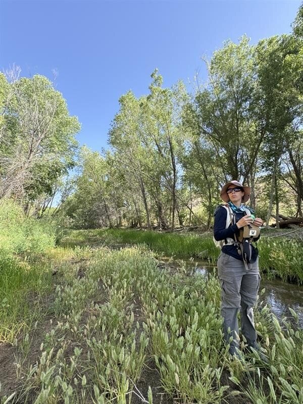
A digital model is a powerful guide, but often times ground-verification is needed. Our biologists take the desktop data into the field to confirm the reality of the landscape:
-
Micro-Habitat Observations: We look for the subtle “indicators” that a map might miss: specific host plants for insects, unique rock crevices for bats, or the precise soil moisture levels required for rare flora.
-
Habitat Quality Scoring: Not all suitable habitat is created equal. We evaluate the suitability of habitat within your project area, helping regulators understand if a site may be occupied by listed species.
-
Negative Determination Reports: If our field evaluation proves that the physical or biological features required for a species are absent, we provide the documentation needed to request a “No Effect” concurrence from federal agencies.
Why Habitat Assessments are a Business Asset
In environmental consulting, information is the best defense against project delays. By partnering with Grouse Mountain, you gain:
-
Avoidance by Design: By identifying and avoiding high-probability habitat during the design phase, you can often significantly shorten the time required for agency concurrence and Section 7 consultations.
-
Strategic Survey Allocation: Instead of a “blanket” survey of your entire project area, our habitat assessments allow us to focus expensive, protocol-driven field work only where it is truly necessary.
-
Defensible NEPA Documentation: Our integrated reports provide the rigorous “Affected Environment and Environmental Consequences” information needed for Biological Assessments and NEPA documents.
The Grouse Mountain Difference
We don’t just produce “pretty maps”. We provide regulatory strategies. Our team understands the specific ecological nuances of the Rocky Mountain West and the Great Plains. We combine desktop, field assessments, and years of biological and permitting knowledge to create project strategies from the beginning.
Ready to ensure your project’s compliance?

