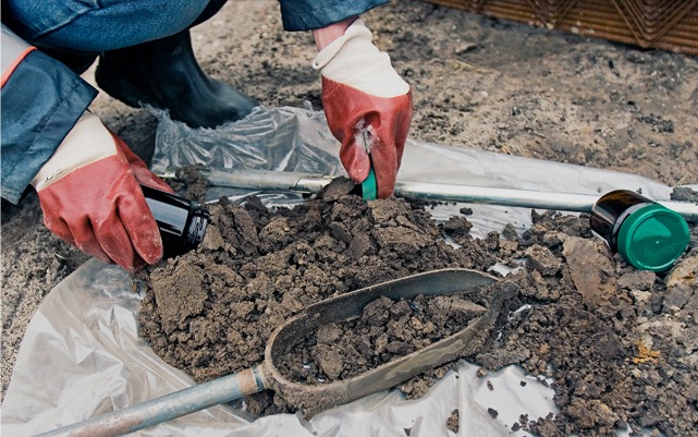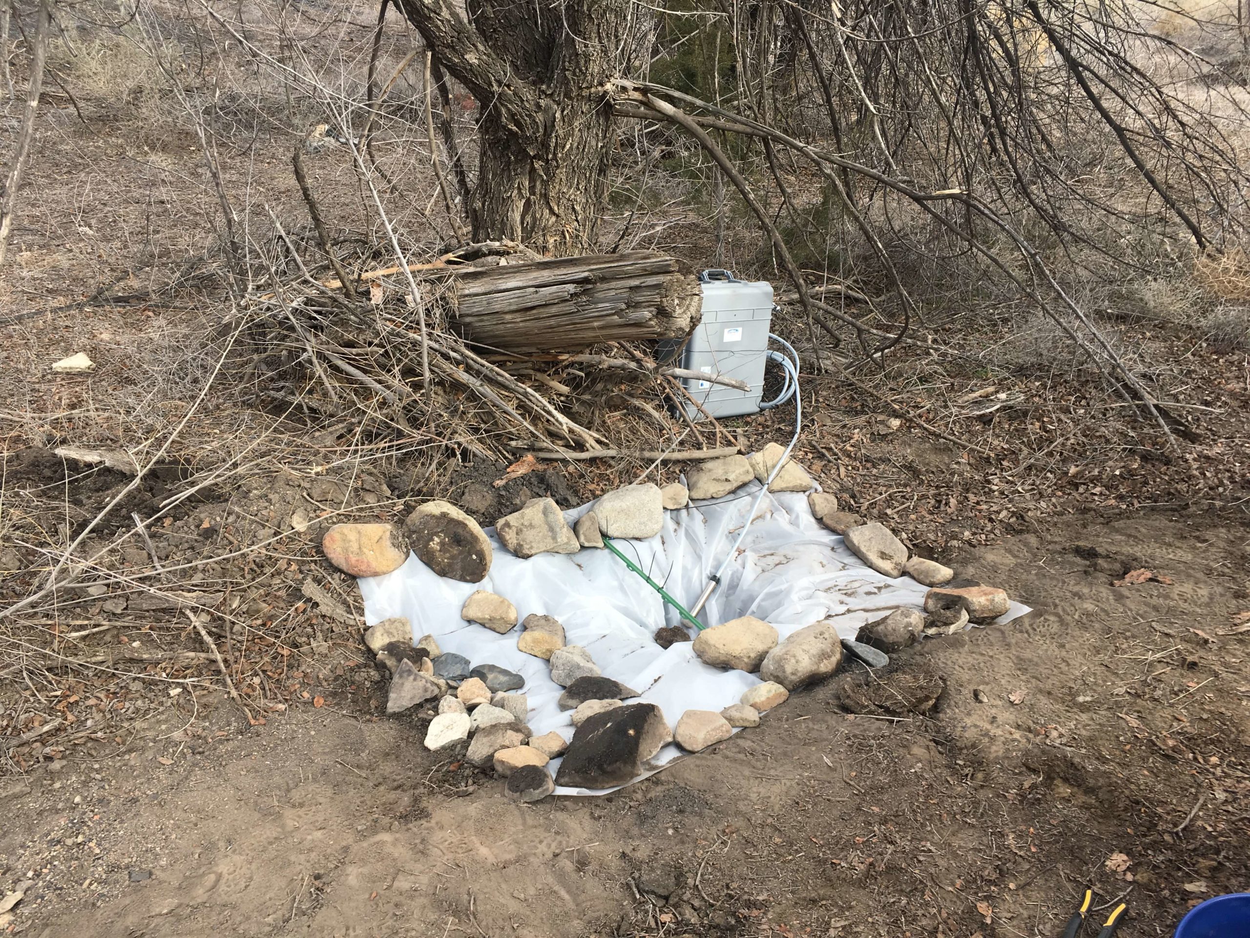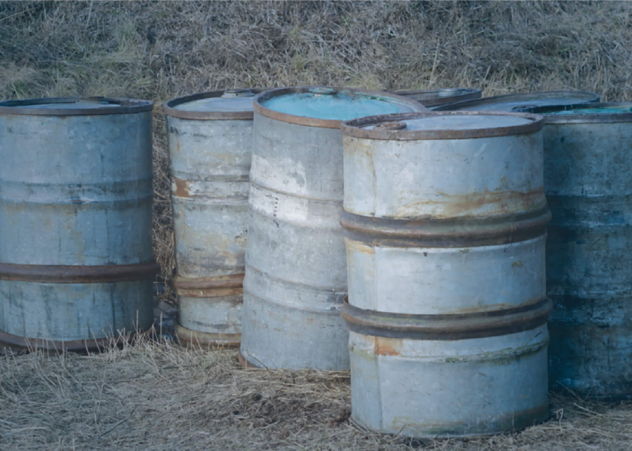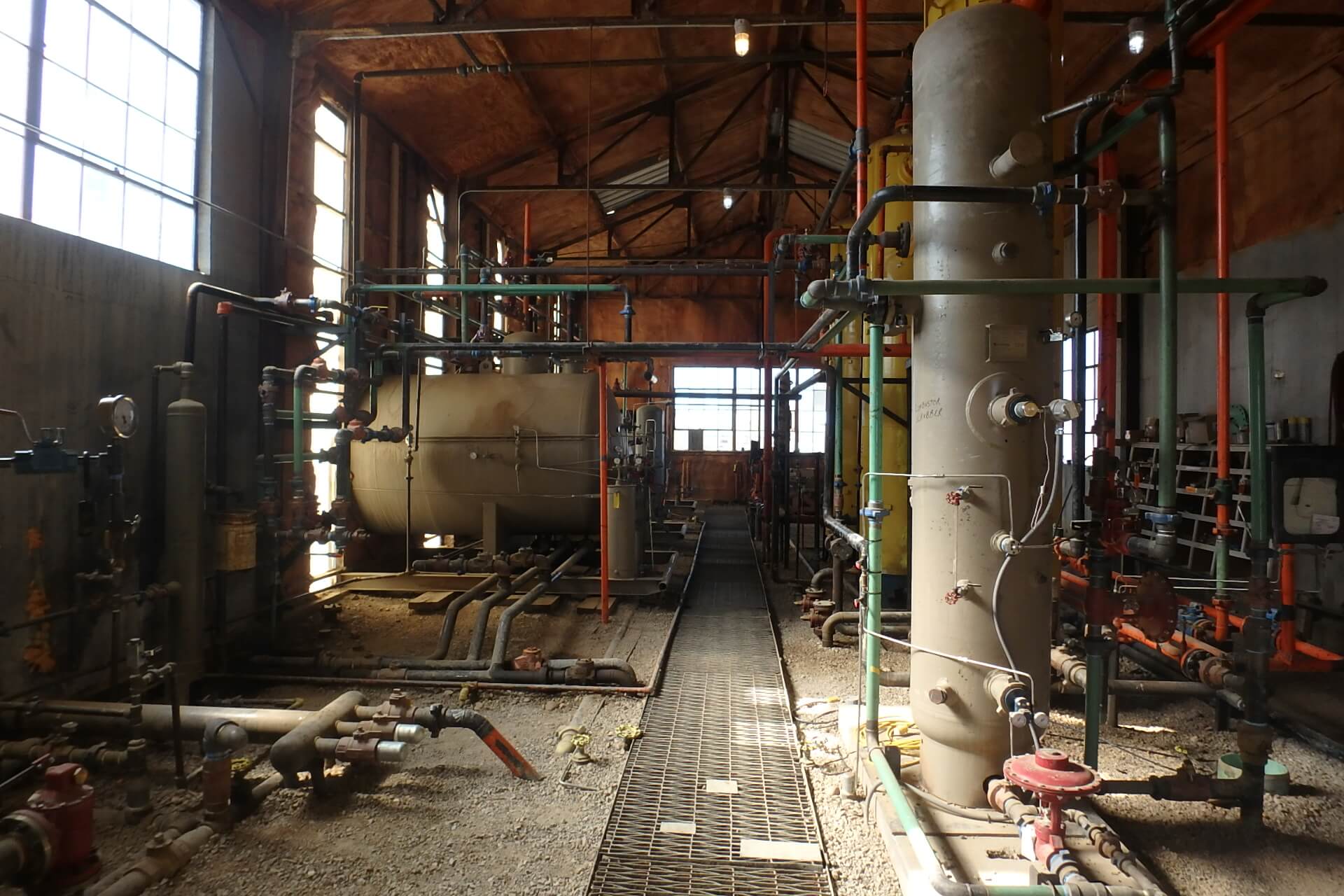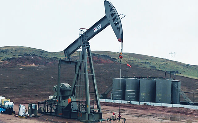
In environmental compliance, a water sample is only as valuable as the data it produces. However, the path from a field-collected vial to a defensible regulatory report is fraught with technical hurdles. Choosing the wrong analytical method, failing to account for “matrix interferences,” or losing track of historical trends can turn a routine monitoring event into a costly compliance nightmare.
At Grouse Mountain Environmental Consultants, we provide specialized Laboratory Consultation and Water Data Management. We ensure your water monitoring program is built on a foundation of technical precision, rigorous quality control, and actionable intelligence.
Strategic Laboratory Consultation: Choosing the Right Path
Not all laboratories or analytical methods are created equal. Depending on your specific permit requirements, the “standard” test might not be enough. We provide the expert guidance needed to navigate the complexities of environmental chemistry:
-
Constituent-Selection Advice: We help you identify the specific “parameters of concern” for your industry, ensuring you aren’t over-spending on unnecessary tests while still meeting all NPDES, WYPDES, or RCRA requirements.
-
Method Selection & Detection Limits: We coordinate with certified laboratories to select the appropriate analytical methods (e.g., EPA 6020 or 200.8) to ensure your detection limits are low enough to meet stringent water quality standards.
-
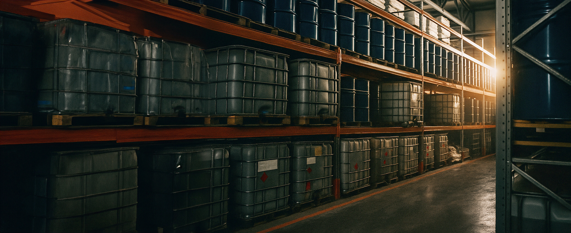
QA/QC Guidance: We develop and oversee Quality Assurance/Quality Control protocols, including the use of field blanks, duplicates, and matrix spikes, to ensure your data is scientifically valid and legally defensible.
The Power of Precision: Advanced Water Data Management
For facilities with decades of monitoring history or dozens of sampling points, a spreadsheet is no longer enough. We transform raw laboratory results into a strategic asset:
-
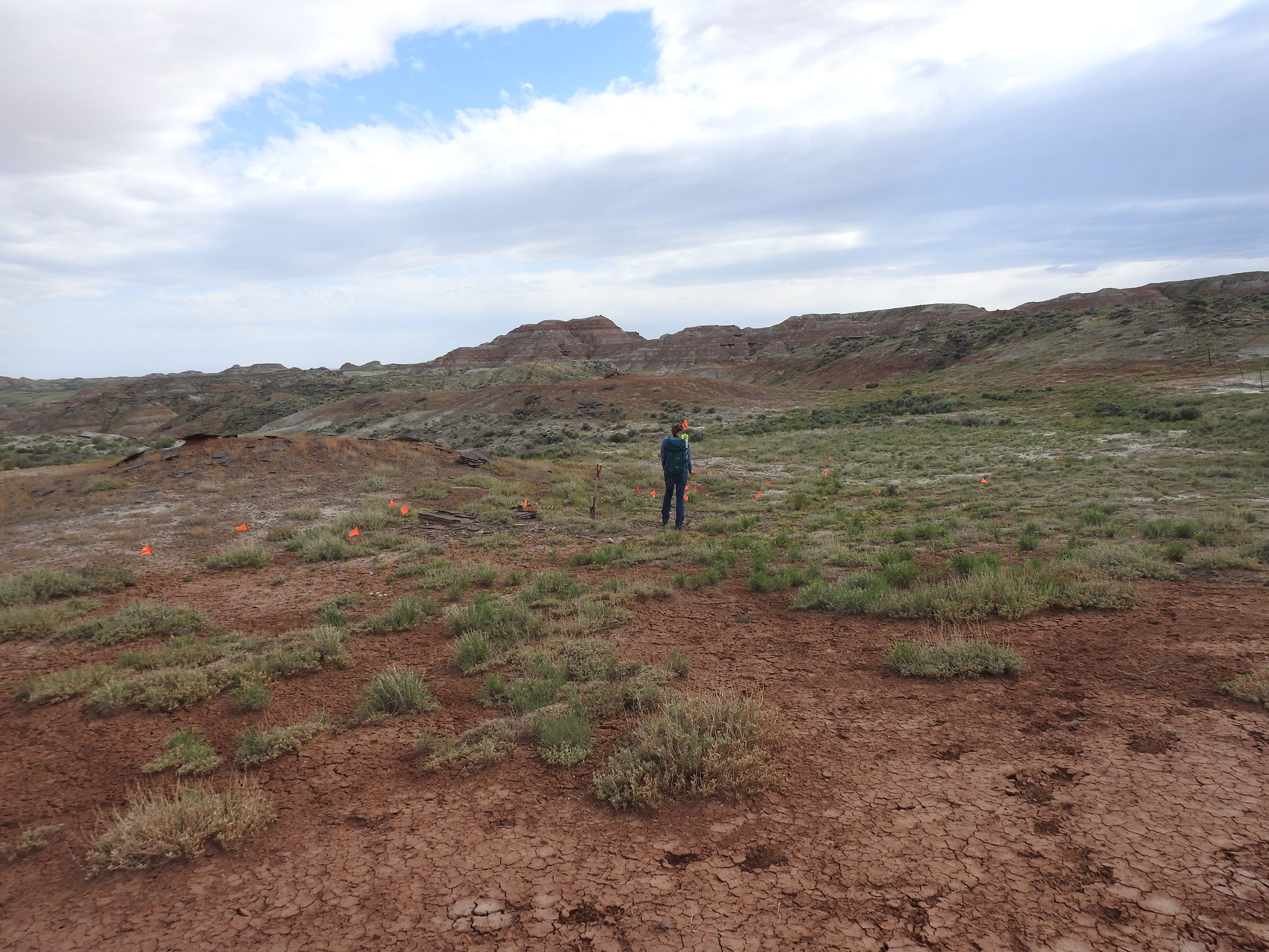
Proprietary Water-Monitoring Databases: we develop custom, secure databases tailored to your facility’s specific footprint. This ensures all your historical data is centralized, searchable, and audit-ready.
-
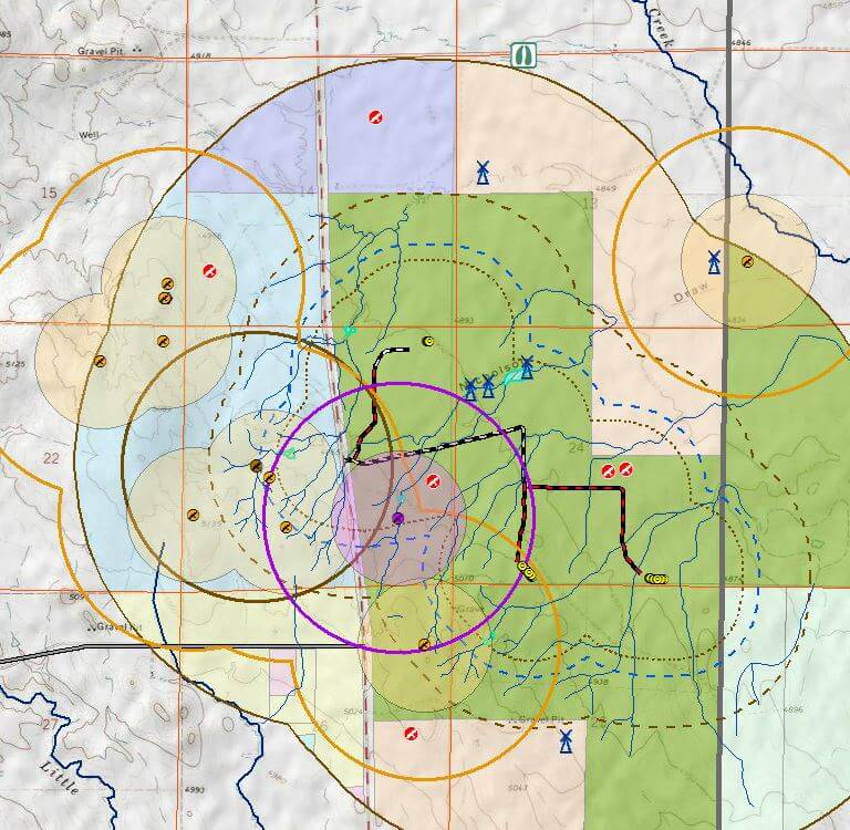
Trend-Analysis Tools: We utilize advanced statistical tools to identify “upgradient vs. downgradient” relationships and long-term “trending” of constituents. This allows for early detection of potential impacts before they trigger a permit exceedance.
-
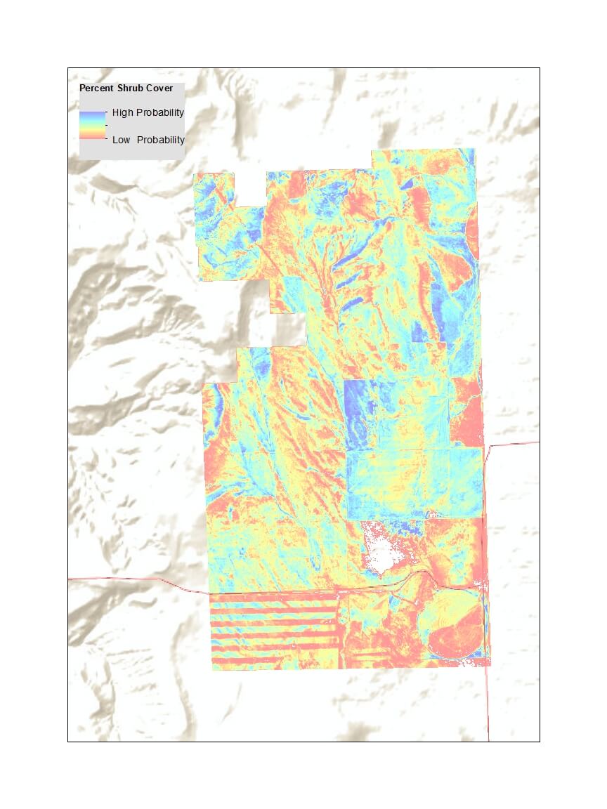
Client-Specific Reporting: We translate complex chemical data into clear, visual reports. From “Piper Diagrams” and “Stiff Patterns” to automated compliance summaries, we give you the tools to communicate status clearly to stakeholders and regulators.
Why Professional Data Management is a Business Essential
In environmental management, data is your best defense and your most valuable planning tool. By partnering with GMEC, you gain:
-
Reduced Analytical Costs: By optimizing your constituent lists and sampling frequencies, we ensure your laboratory budget is focused on what truly matters for your permit.
-
Regulatory Confidence: Our rigorous QA/QC oversight means that when a regulator audits your files, they find a complete, transparent, and technically sound administrative record.
-
Proactive Risk Mitigation: Trend analysis allows you to “see around the corner,” identifying equipment failures or liner leaks in their infancy, potentially saving millions in future remediation costs.
The GMEC Difference
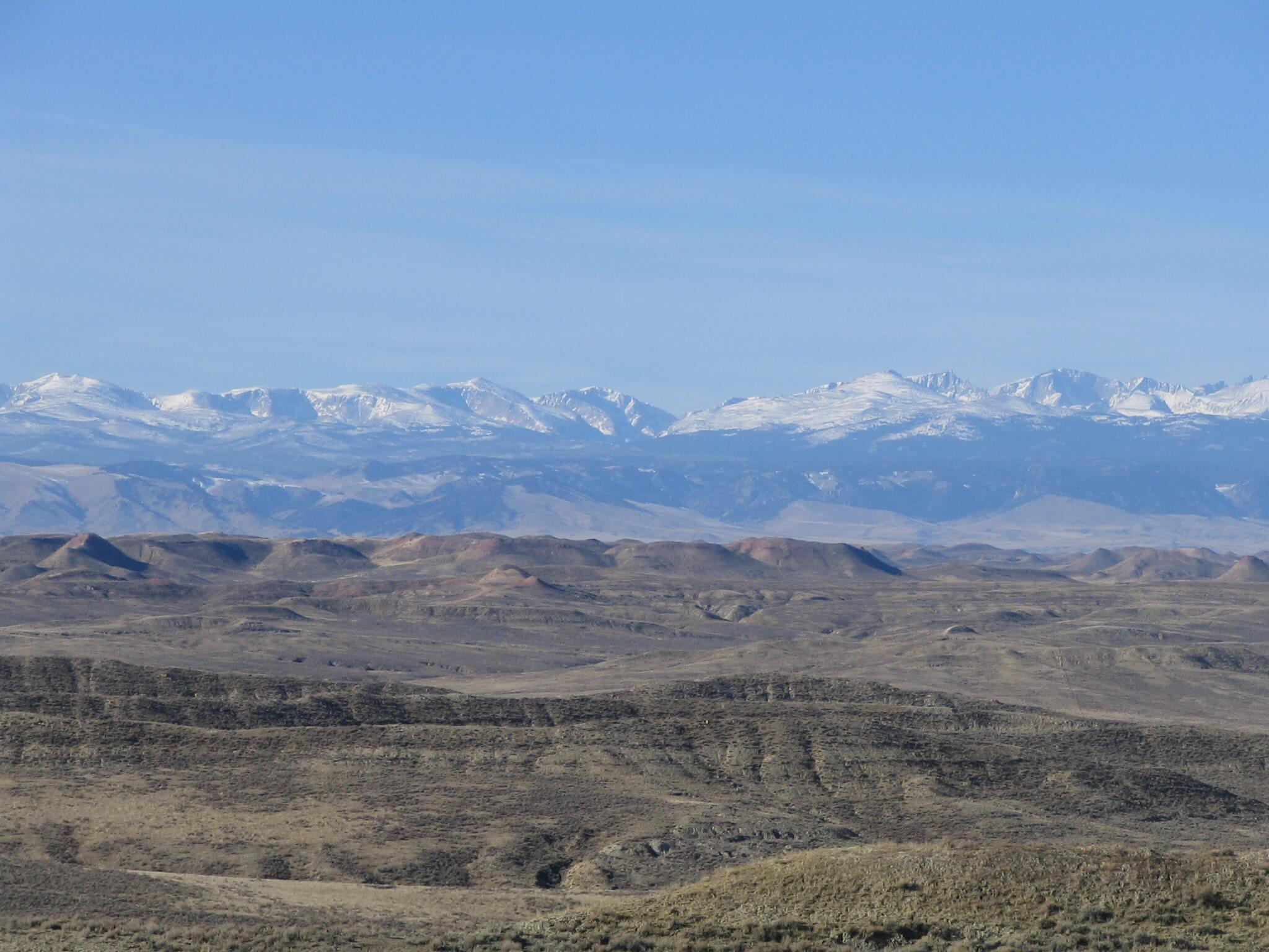
We aren’t just “sample takers”; we are data stewards. Our team understands the industrial and energy infrastructure of the West and the high-stakes nature of water quality reporting. We provide the technical depth of a national laboratory consultant with the personalized service and local knowledge of a regional partner.
Ready to ensure your project’s compliance?